

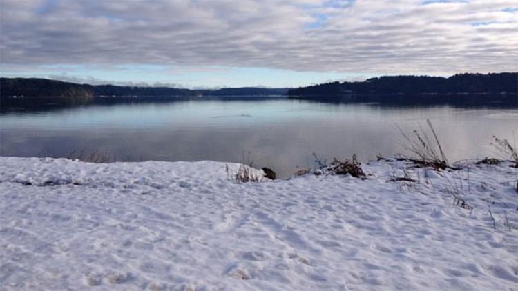
SEATTLE — Parts of western Washington could see a rain-snow mix Wednesday morning as snow levels remain relatively low.
A Winter Weather Advisory for western Kitsap and the lowlands of eastern Jefferson and Mason counties, including Brinnon and Seabeck, in areas above 500 feet of elevation expired at 6 a.m.
Drivers should plan on slippery road conditions, according to the National Weather Service.
Wednesday has high temperatures too warm to maintain the form of snow, so a few scattered rain showers will linger.
Thursday will see a high-pressure system move in during the morning for only a few showers early with snow levels 1,000-1,500 feet.
Friday may see a few showers with snow levels around 1,500 feet.
Storms will be heading more directly towards Washington over the weekend for increasing rain on Saturday with showers and sunbreaks on Sunday. Snow levels will be 1,500-2,000 feet confining the snow to the mountains.
Knowing your elevation helps you to know whether or not you’ll see snow. Elevation Finder is a helpful tool to use to discover the elevation where you live.
