SEATTLE — After a brief stretch of sunny, warm weather, western Washington is back in a pattern of cooler temperatures for "at least" the next seven days, according to the National Weather Service.
Starting Wednesday, April 24, high temperatures are largely expected to be in the 50s, according to the Weather Service. The last days of April are also expected to be wet, with chances of snow on mountain passes.
Between Wednesday and Friday, rain totals will range from 0.5 of an inch to 1 inch in the interior and 1-2 inches along the coast. Snow levels will hover around 4,500 feet for Cascade passes.
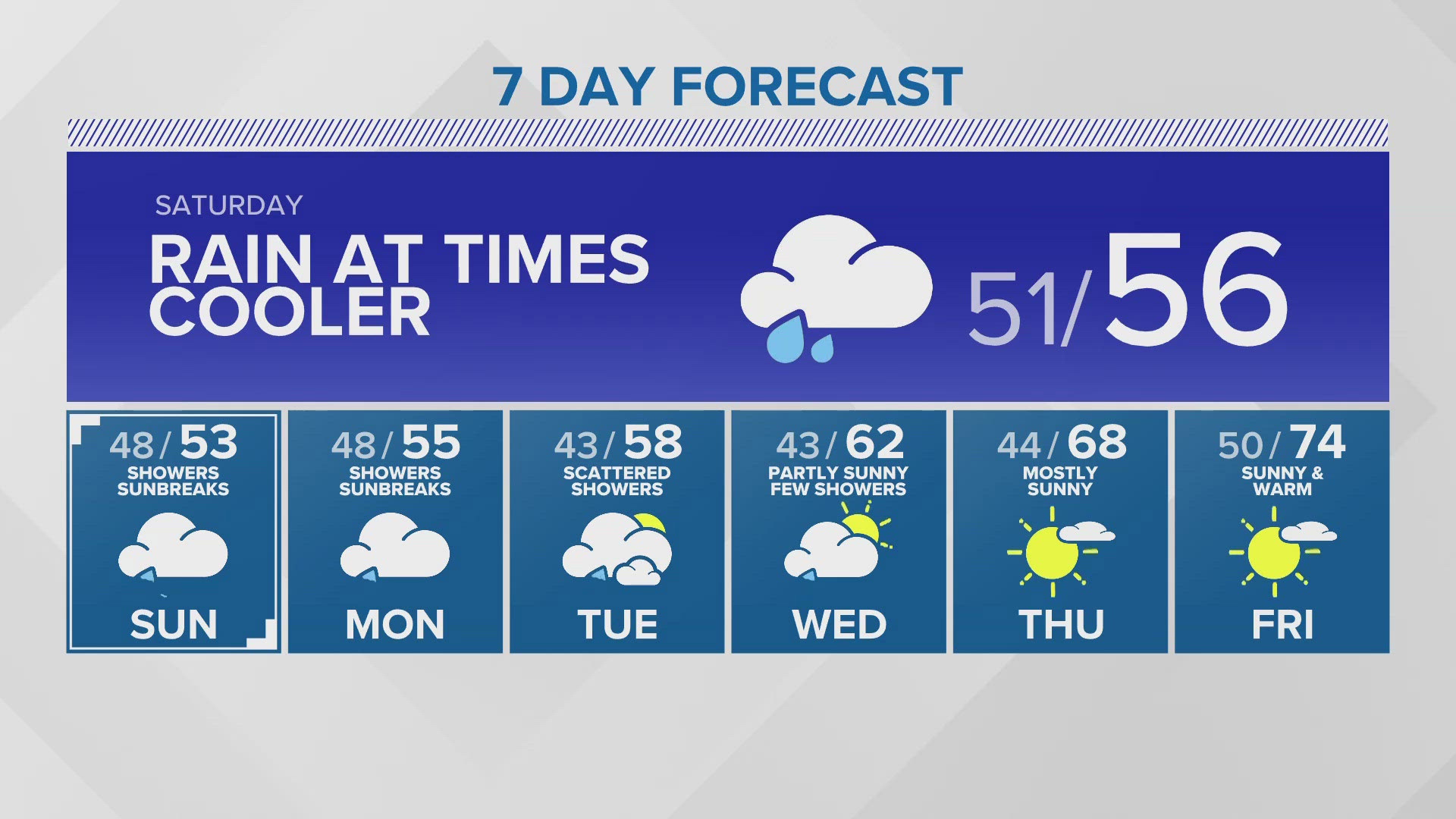
A pair of weather systems will keep the weather cool and wet through the weekend and into early next week, with low temperatures cooler than average, according to the Weather Service. Highs will also be a few degrees below average in the mid-50s.
By Monday, April 29, snow levels are expected to drop to about 2,500 feet. Mountain passes could see a few inches of snow, according to the Weather Service.
It's a quick change from the weather people in western Washington experienced over the past week, according to historical data from the Weather Service. On April 18, temperatures in the Seattle area hit the mid-60s, a few degrees above normal. Temperatures reached the high 60s and low 70s April 19-20. The Seattle area saw temperatures hit 70 again on April 23 - nearly 10 degrees above normal.
Download the KING 5 app to check the interactive radar near you, as well as the latest forecast, cameras and current conditions.
Watch: New online tool allows you to see heat risks throughout the country