

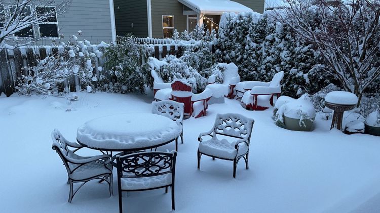
SEATTLE — Lowland areas of western Washington could see up to 3 inches of snow accumulate through Thursday afternoon, according to the National Weather Service (NWS).
The Weather Service issued a Winter Weather Advisory throughout the region. It is in effect until 4 p.m. on Thursday.
Here's what to expect for the rest of the week.
Thursday
Another light round of lowland snow or flurries that began Wednesday night is expected to last through Thursday morning, according to the National Weather Service, possibly impacting the morning commute.
Many school districts have called for delays Thursday morning.
Trace 1" of accumulation is expected mainly east of I-5 from Federal Way south to Olympia. Sun breaks are expected Thursday afternoon.
Five to eight inches of accumulation are possible over the mountains and at higher elevations into the first half of Thursday, according to the NWS.
Areas that don’t see snow may likely still see lingering moisture on untreated roads, which is likely to freeze over.
High pressure will build into Thursday afternoon, leading to showers decreasing and eventually ending. Daytime high temperatures will be in the upper 30s and lower 40s.
Friday
Friday will be partly sunny early, but another system will move in during the late afternoon or evening for an increased chance of rain or snow overnight Friday.
Accumulations of 2-4 inches are possible by early Saturday, mainly west of Puget Sound on the western Kitsap Peninsula and between north Seattle and Everett.
High temperatures will be around 40 degrees.
Saturday
Rain or snow showers early, decreasing during the morning with little or no accumulation. It should turn partly sunny in the afternoon. Highs near 40. Light winds.
Sunday and beyond
At this point, Sunday looks like a partly sunny day, and we'll stay dry throughout the day on Monday.
The threat of rain/snow showers returns on Tuesday and Wednesday. However, no significant accumulation is expected.
High temperatures will be in the upper 30s to low 40s.
