

SEATTLE — An arctic cold front slowly moving south from British Columbia set the stage for a weather system that will leave lingering snow chances into Monday morning.
A new system arriving Tuesday has already triggered a Winter Storm Watch in the mountains and could also lead to lowland snow accumulations throughout western Washington.
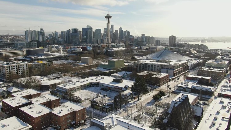
Snow arrived Sunday afternoon with reports of snow and mixed rain and snow and rain near the King County/Snohomish County border and reports of snow later in the day around Seattle.
Heavy snow on the mountain passes contributed to the closure of westbound Interstate 90 for hours at Ellensburg on Sunday following a semi-truck crash. Chains are required going both directions.
Traction tires are required on both Stevens and White Passes.
Heavy mountain snow is also forecasted for later in the week.
Here’s what to expect for the rest of the week as the chance for lowland snow arises periodically.
Monday morning
Favored areas that could wake up to snow accumulations include King and Snohomish counties, the lowlands of Whatcom and Skagit counties, and along Highway 101 near Port Angeles.
These areas could see at least half an inch of snow with some areas receiving upwards of three inches. The favored areas to see three inches are in the Cascade foothill communities in King and Snohomish counties, and along HWY 101 near Port Angeles. There could also be a narrow band of one to two-inch accumulations somewhere in the Seattle-Everett metro area along the King-Snohomish County line.
While spotty snow showers are possible Monday morning, most moisture lifts and moves out of the area so most areas are cloudy, dry, and cold Monday morning.
Mainly dry conditions are expected to continue throughout the day Monday.
While accumulations are forecast to be light, it doesn't take much to cause issues, especially in the hillier communities as temperatures fall below freezing.
According to the National Weather Service (NWS), temperatures will be chilly, with highs in the low 30s and overnight lows in the low to mid-20s.
Tuesday into Wednesday
The next weather system bringing wintery precipitation pushes in on Tuesday into Wednesday, according to the NWS.
There are still questions about the timing, amount and impacts of precipitation in this system. Models will become more certain as we get closer.
Moisture makes lowland snowfall a possibility throughout the region. NWS models predict a potential one to two inches of accumulation over the lowlands Tuesday into Wednesday, with the exception of western Whatcom County, which has the potential to see two to three inches. However, there is still uncertainty around total accumulations.
Temperatures will remain chilly, in the low to mid-30s, according to the NWS.
The mountains will see a decent amount of snow from this system, according to the NWS. A Winter Storm Watch was issued for the North Central Cascades beginning early Tuesday morning and lasting through Wednesday morning. Possible accumulations could range from one to two feet of snow.
Another chance for wintry weather arrives late Wednesday into Thursday when snow that could change to sleet and freezing rain is possible during this timeframe. These details will be ironed out over the coming days.
