

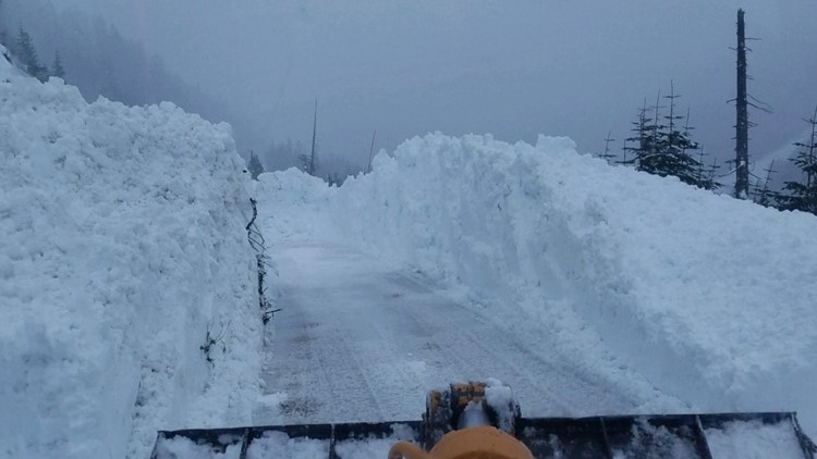
SEATTLE — The countdown to winter is on, and it is already feeling and looking like winter in the Washington mountains.
With the colder and wetter weather over the past few weeks, Washington ski resorts recently announced the opening dates, much earlier than normal, as the early-season snowpack is off to a good start in Washington. See the local ski resort opening dates.
Latest snowpack report
The latest snowfall report shows the snowpack in Washington is off to a good start, running well-above average.
As of November 13, the Washington snowpack is at 211-441% above the 1991-2020 median, according to the Natural Resources Conservation Service's SNOTEL data. The NRCS SNOTEL data is compiled into a map with the snowpack measurements and percentages measured by special weather stations called SNOTELS or Snow Telemetry Sites.
These percentages show how much snowpack there is in our mountains compared to what is normally there on a given day.


While these percentages are reported as an average, it is actually a median, which is all the years stacked in order from high to low with the middle number selected as the median. This is instead of adding all the data together and dividing by the number of years.
The median and the average are calculated from what's called the Period of Record, a timeframe of 30 years used by scientists in climate studies. The latest Period of Record is from 1991-2020. While there is rarely much of a difference between average and median in the snowpack department, there tend to be subtle differences.
The larger picture
Despite the early-season above-average snowpack, caution must be used when looking at the numbers because we are so early in the season.
Typically, early-season snowpack numbers are not necessarily an indicator of what is expected for a season, and it should be noted these numbers will change daily based on the historical average; meaningful, large-picture conclusions should not be drawn on the rest of the season.
But after a long, dry summer, the snowpack and water are good signs for the mountains.
For the third consecutive winter, La Niña is forecast. This typically favors a long-term weather pattern that can bring above-average precipitation to Washington meaning the mountains generally see higher snow than usual.
