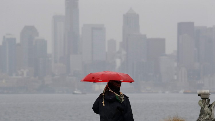
SEATTLE — Heavy rain is giving way to scattered showers as a weather system begins to move out of
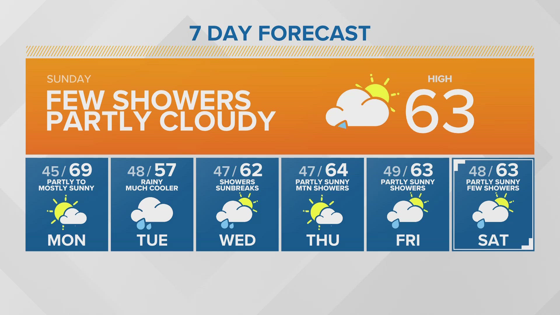
Rain and gusty winds blew into the Puget Sound region Sunday and Monday. Conditions dried into Monday evening.
Cooler and a little drier air is settling in through midweek, causing daytime highs in the mid to upper-40s. Only a few showers will be left by Wednesday, and snow levels will drop to around 1,500-2,000 feet as precipitation wraps up.
Thursday should be partly sunny but it will start chilly with a lot of places' low temperatures dropping into the 30s and some of the cooler spots in the south Sound dropping below freezing.
By Thursday night the next round of storms will begin to move in with increasing rain later Thursday night. Friday should be a rainy and breezy day with highs warming back into the low to mid-50s.
There will be a little break on Saturday with off-and-on showers and mountain snow but another cool system will spread steady rain back into western Washington and snow in the mountains on Sunday.
Rain accumulation
King County issued a Flood Alert for the Snoqualmie River around 1:30 a.m. Monday. The country said the river reached flood stage 2 and minor flooding was expected in low-lying areas. That flood warning expired Monday evening.
While the flood risk does remain low, there is a low-end flood risk near recent burn scars. This is particularly true in the Cascades where heavy rain could lead to flash flooding and debris flows. While the risk is low, this will continue to be closely monitored.
There is also a low-end flood risk near rivers and streams on the Olympic Peninsula, poor draining areas, and in urban environments with large amounts of concrete.
Download the KING 5 app to check the interactive radar near you, as well as the latest forecast, cameras and current conditions.