
OLYMPIA, Wash. — Maps recently released by the Washington Department of Natural Resources shed light on what Washington's coast might be facing in the aftermath of a 9.0 earthquake. Experts say a major earthquake is likely to happen within the next 50 years.
A tsunami triggered by a magnitude 9.0 earthquake would cover low-lying coastal communities under as much as 30 to 100 feet of water, depending on the area, maps show.
However, the maps break ground in other ways - they also look at how fast that water will move.
“Understanding the currents and where they’re the fastest, is incredibly important,” said Chief Hazards Geologist for the Washington Geological Survey Corina Allen.
Water could move as quickly as 30 miles per hour, or more than 25 knots.
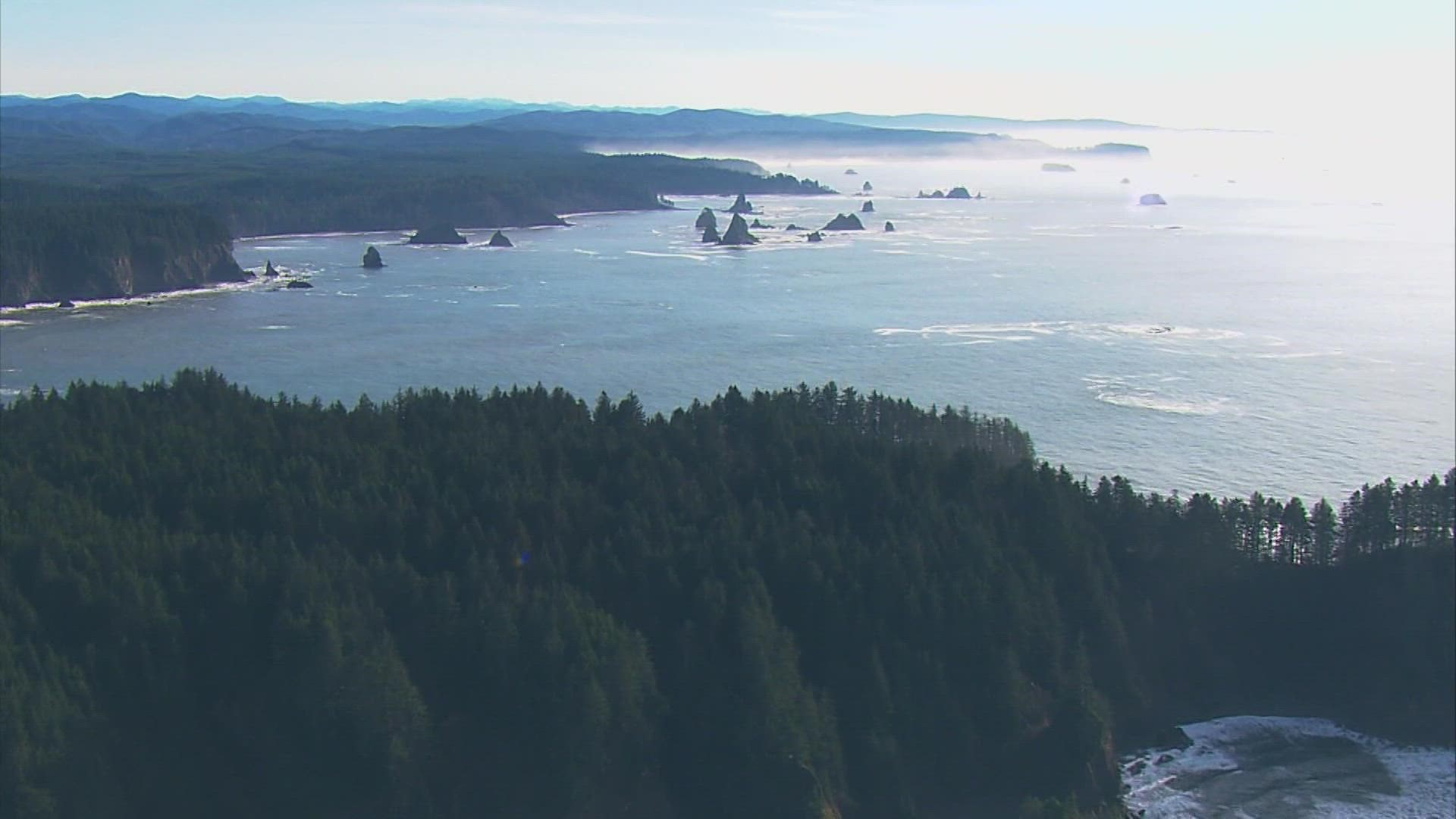
The last magnitude 9.0 earthquake off the northwest coast was on Jan. 26, in 1700, off the Cascadia Subduction Zone, a fault that runs from Cape Mendocino in California all the way to British Columbia.
It's called a subduction zone because a layer of the earth's crust making up the ocean floor is being pushed and pulled under the North American Plate, which covers the North American continent.
The entire Pacific rim is ringed with these types of faults which generate the largest known quakes on the planet.
The Cascadia Subduction Zone has been quietest the longest and is considered in the window to rupture again, but that could still be a century or more away. The last major quake and tsunami occurred in March of 2011 off northeastern Japan.
In the meantime, Washington is still vulnerable to tsunamis resulting from earthquakes or undersea volcanic eruptions thousands of miles away.
The most damaging could come from Alaska, but just last weekend the tsunami generated by the explosion of an underwater volcano in Tonga sent waves around the Pacific.
In Washington, the highest measurement was 1.1 feet in La Push, Washington. Port San Luis in California saw 4.3 feet. But again, it’s not just a matter of water depth, as beaches and marinas were closed around Washington and the northwest.
“People hear about a one to three-foot wave, they think it’s not a big deal, I see waves that big all the time,” said Harold Tobin, who has spent decades studying subducting faults and tsunamis. “It’s not the same thing. A tsunami is a rush of water…like a tide coming in. And it’s moving a lot faster than you can outrun it.” Tobin also serves as Washington State’s seismologist and is director of the Pacific Northwest Seismic Network at the University of Washington.