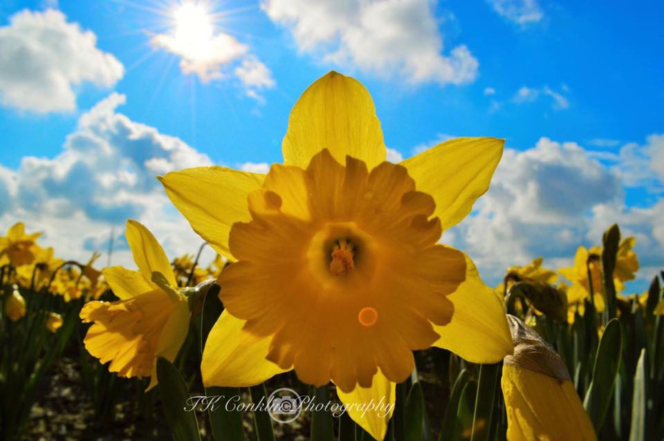
Flowers are blooming, the sun is shining, and Seattleites are crawling out of their winter dens.
The last couple of weeks have been very spring-like with a record high of 73 (the earliest 70+ degree day Seattle has ever seen) on March 12.
The official start of Spring is today at 9:15 a.m. anf it will give us what many of us would expect -- sunshine and highs in the mid-50s.
It will actually be very seasonal, but not for long.
That’s right, the end of the week will be much different as winter tries to hold on to us with all its might. A deep layer of cold air is sitting in the Gulf of Alaska and slowly inching towards our direction.
Although the rain will move in later Wednesday, the colder air doesn’t arrive until Thursday night. So you have a couple of days to get the kids out and enjoy all of this Vitamin D.
Expect widespread rain, lower snow levels, and breezy conditions to be with us on Thursday. The snow level will start around 5,000 feet early Thursday, but lower to 1,500 feet Thursday night. That means colder air swings in and drops our temperatures into the mid to upper 40s to end the week.
As far as snowfall, most of the activity will be in the mountains, but leftover showers will be likely on Friday which means snow could fall as low as 1,000 feet in some areas Friday and Saturday mornings – but no worries of any lowland snow accumulations.
Another thing to note: we might see a thunderstorm or two Friday and Saturday afternoon.
Last, but not least, the first day of summer is 93 days away – the summer solstice is at 3:07 AM June 21st!