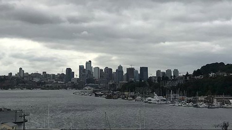
Summer isn’t officially over, but fall has already made itself comfortable in Western Washington.
Our normal high is 71 degrees this time of year, but we’re looking at unseasonably cool temps in the 60s with rain in the forecast through first half of Sunday, then decreasing showers in the evening.
The trough of low pressure that brought in the rain exits Sunday night and will be replaced a ridge of high pressure, which means it will be dry Monday and Tuesday.
If you’re not partial to the rain, the good news is the first half of this week looks sunny, dry, and closer to 70. It will be a nice break before summer ends Sept. 22.
But it was a summer to talk about.
Smoke from massive fires made for terrible air in the Pacific Northwest. We also had record-setting temperatures that put this summer in the top five driest on record.
We managed to hit 94 twice this summer: Once in July and once in August. This ended up being our warmest daytime temperature. We had a total of 11, 90-degree days.
What’s next?
Long range models call for average temperatures overall and below-average precipitation through the rest of September. We could see slightly warmer days sprinkled in throughout the month.
We will trend drier and warmer than average for most of fall with El Nino forming this winter. If El Nino turns out to be a strong, that trend of a warmer, drier pattern will stick with us through the entire winter.