
SEATTLE — The first formidable wind event of the season arrived in western Washington this week.
Because of the strong wind gusts, the National Weather Service Seattle issued a Wind Advisory that expired at 5 p.m. Thursday. The Wind Advisory was issued for Everett north along Puget Sound, the San Juan Islands, and the North Coast near the Strait.
Wind gusts topped 50 mph in some areas on Thursday.
RELATED: Western Washington Forecast
Weather timeline
Areas within the Wind Advisory saw the strongest wind gusts with widespread gusts between 30 to 40 mph. In some more extreme cases, winds reached 50 mph. The favored areas to see the strongest wind gusts are areas closest to the water.
The Seattle Metro was not included in the Wind Advisory.
The strongest winds continued through late Thursday afternoon, but the strong wind gusts wound down overnight. The front stalled over the Olympic Peninsula and is pushing slowly through Puget Sound Friday morning for a wet commute.
The front will drop slowly southeastward through the interior this morning ending the rain. It should dry out around Bellingham by mid-morning and this will spread to Olympia by noon. Skies should clear to at least partly sunny Friday afternoon.
Saturday should be partly sunny, giving us a breather before another wet and blustery front moves in on Sunday. If you're headed to the Seahawks game on Sunday, plan on taking your rain gear along!
Also plan on waterproofing the Halloween costumes as nature plays her favorite Halloween "Trick" on us Monday. Another slow-moving system will soak us down. It looks like rain will last through the day Monday and likely into trick-or-treating Monday evening.
The front should move through late Monday night leaving behind off-and-on showers and sun breaks on Tuesday.
Cooler and drier air will settle in by midweek next week, giving us highs in the upper 40s and low 50s and only a few showers mixed with sunshine
Wind impacts
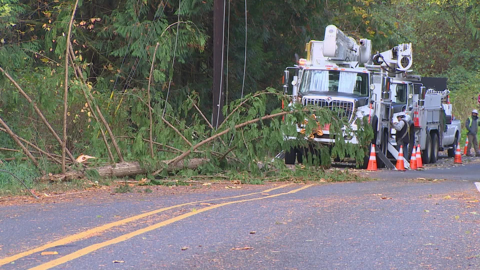
Wind gusts can cause branches to snap and down some trees, leading to power outages.
While widespread power outages are not expected and these winds aren't unusual for this time of the year. This was the first widespread strong wind event.
With foliage still on trees and some of the trees being stressed due to the dry summer, there was risk for some tree damage and power outages.