

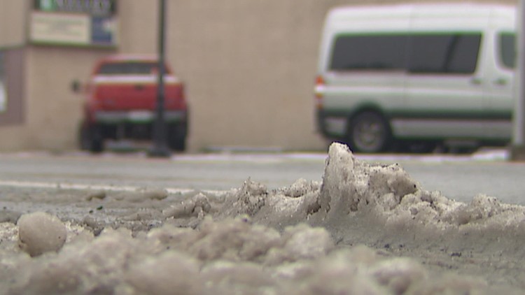
SEATTLE — There's a chance we'll see light snow in the lowlands this week in western Washington.
Snow levels, which hovered around 1,500 feet on Sunday, are expected to remain low into Wednesday.
A system is expected to bring snow to the higher elevations Monday morning, with a rain/snow mix to the hilltops. With temperatures in the mid-30s to around 40, the lowlands will see primarily rain Monday morning. Snow levels are expected to remain around 1,500-2,000 feet.
There could be a break in the wet weather later Monday morning, but another round is expected to arrive by Monday evening, the National Weather Service (NWS) said. With low snow levels, stronger showers bring the potential for a mix of rain, snow and graupel to sea level. The NWS doesn't expect any significant impacts.
RELATED: Western Washington forecast
There is a “considerable” avalanche risk for most of the Washington Cascades, according to the Northwest Avalanche Center (NWAC). Click here to see the NWAC avalanche forecast map.
Snow levels are forecast to fall to around 500 feet Monday night into early Tuesday morning. The lower snow levels and an increased chance of showers Tuesday bring a greater chance of snow to the lower elevations. A brief snow or rain/snow mix is possible in the lowlands, but the NWS said “any noteworthy accumulating snow will remain on the highest hills and more certainly into the Cascades.”
Another low-pressure system is expected to arrive late Tuesday into Wednesday, bringing an increased chance of snowfall to the Kitsap Peninsula and the Hood Canal area. The NWS said there is a 50% chance of 1 inch of snow accumulation around Bremerton.
Daytime highs on Tuesday are expected to be around 40, with overnight lows near or below freezing.
The potential for snow accumulation Wednesday is much lower from Everett to Chehalis, with only a few tenths of an inch if there is any accumulation at all, the NWS said. However, if enough moisture stays in the area, there is a chance many areas will likely see a snow or rain/snow mix, but no significant impacts are expected.
The possibility of lowland snow follows a strong weather system over the weekend that brought heavy snow to the mountains.
A system earlier in the week brought heavy snow in the Cascades that caused Interstate 90 to close near Snoqualmie Pass multiple times due to hazardous conditions.
Download the KING 5 app to check the interactive radar near you, as well as the latest forecast, cameras and current conditions.
