

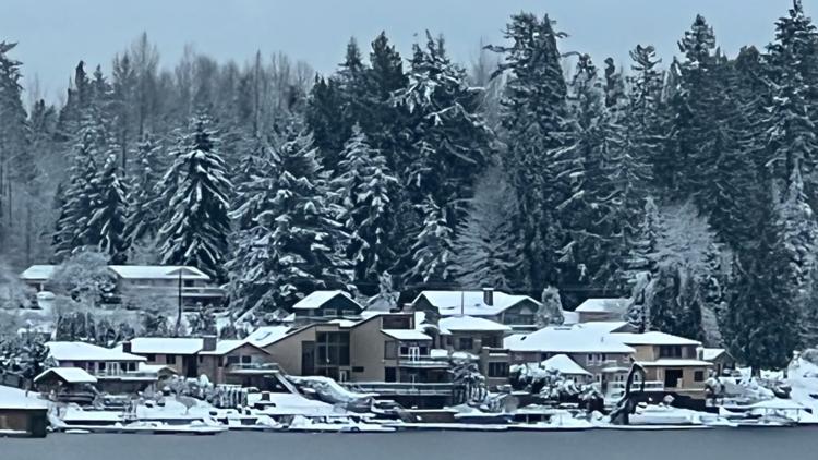
SEATTLE — Cold temperatures will continue across most of the region, but there is some slight relief in sight Sunday. After heavy snowfall blanketed the region, arctic air will keep highs below freezing until Saturday afternoon, with overnight lows in the teens and mid-20s.
The NWS warned that frostbite and hypothermia can occur much faster when temperatures are this cold and coupled with gusty wind.
Below is a forecast timeline of what to expect for the rest of the week:
Saturday
A warm front Saturday will slowly begin to bring warmer air into western Washington. The warmer air will be enough to bring high temperatures back up into the mid to upper 30s.
A few flurries and sprinkles will be around Saturday, with the best chance over Whatcom and San Juan counties and possibly around Hood Canal and the Kitsap Peninsula. Any other few showers will mix with rain during the day. No accumulations are expected.
Saturday's highs will be in the mid to upper 30s. A strong south wind all day will continue a thaw.
Sunday
A cold front dropping down from British Columbia Sunday is expected to bring more rain to western Washington. Highs will be in the low to mid-40s.
Increasing rain by Sunday evening could cause localized flooding due to snow melting and the puddles of thawing slush.
The NWS said snow levels are forecast to rise to between 1,500-2,500 feet. Heavy snow is expected in the Cascades, including on Stevens and Snoqualmie passes. The NWS said the mountains could get between 12-18 inches of snow between 4 p.m. Sunday and 4 a.m. Monday.
Monday and beyond
Into Monday morning, we'll see more wintry weather as we'll switch back over to a rain/snow mix and eventually all snow as colder air settles back in. It’s still a few days out, so accumulations are yet to be determined.
Areas of light rain and snow stick around for Tuesday and early Wednesday morning, before the lowlands warm up enough for the typical plain rain to end off the workweek Thursday and Friday, as snow levels climb back up to around 3,000 feet.
