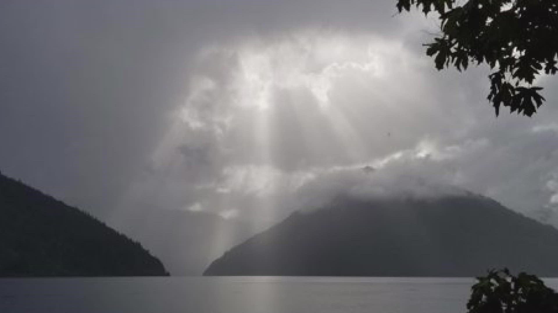
SEATTLE — A fall-like weather system visited western Washington this weekend. The cold front brought heavy rain, thunderstorms and the first high elevation snow to the region in several months, and it's not over yet.
While a September storm like this is not unheard of, it is more typical in late October or November.
Below is a timeline of what to expect:
Monday into next week
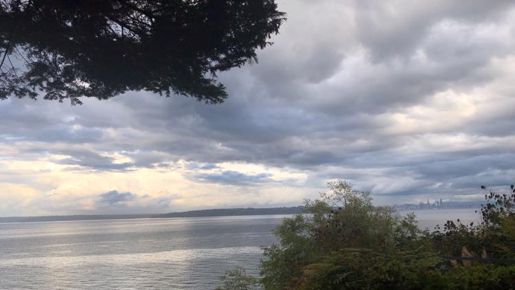
Monday will see a few lingering showers early in the morning, turning partly to mostly sunny.
High pressure will give us sunshine for Tuesday and Wednesday with warmer temperatures near 70 degrees.
The first day of fall on Wednesday brings a weak weather system with early morning rain that will change into heavier showers. A rain shadow will keep rain lighter around the central Puget Sound.
High temperatures will be in the upper 60s. Thursday through the following Saturday will clear from morning clouds to sunny skies and highs near 70.
RELATED: Western Washington forecast
When the storm arrived
When the storm hit western Washington Friday, wind gusts were 30 to 40 miles per hour and by Saturday morning most lowland areas had received 1 to 2 inches of rain.
Wind gusts took out power lines and downed trees. Power outages were reported across parts of western Washington, with tens of thousands without power by Saturday morning.
The National Weather Service (NWS) received many reports of thunderstorms across the Seattle area Saturday afternoon around 2 p.m. A new round of strong storms came ashore along the south coast at 6 p.m. Heavy rain continued into the night.
Another round pelted the Seattle area around 5 p.m. Sunday just as the Seahawks game was ending.