

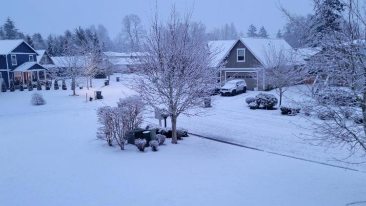
SEATTLE — The cold, active weather pattern continues for western Washington, delivering yet another round of wet lowland snow which will last through Tuesday night.
The system arrived Monday night creating an uptick in precipitation and bringing reinforcing chilly air. This set the stage for wet, accumulating snow for the western Washington lowlands including Puget Sound and the metro areas along Interstate 5.
A widespread coating of snow up to 2 inches is expected for those areas through Tuesday night. Isolated 3-inch amounts cannot be ruled out, favoring areas away from water and the hilltop communities around Puget Sound.
The convergence zone-friendly areas in Snohomish and King counties could also see higher amounts upwards of 3 inches by the end of the day Tuesday.
KING 5 has activated First Alert for this weather event, which could affect lives, property or travel in the Pacific Northwest region. During this event, the First Alert Weather Team will bring you the latest information to keep you and your family safe.
Snow timeline
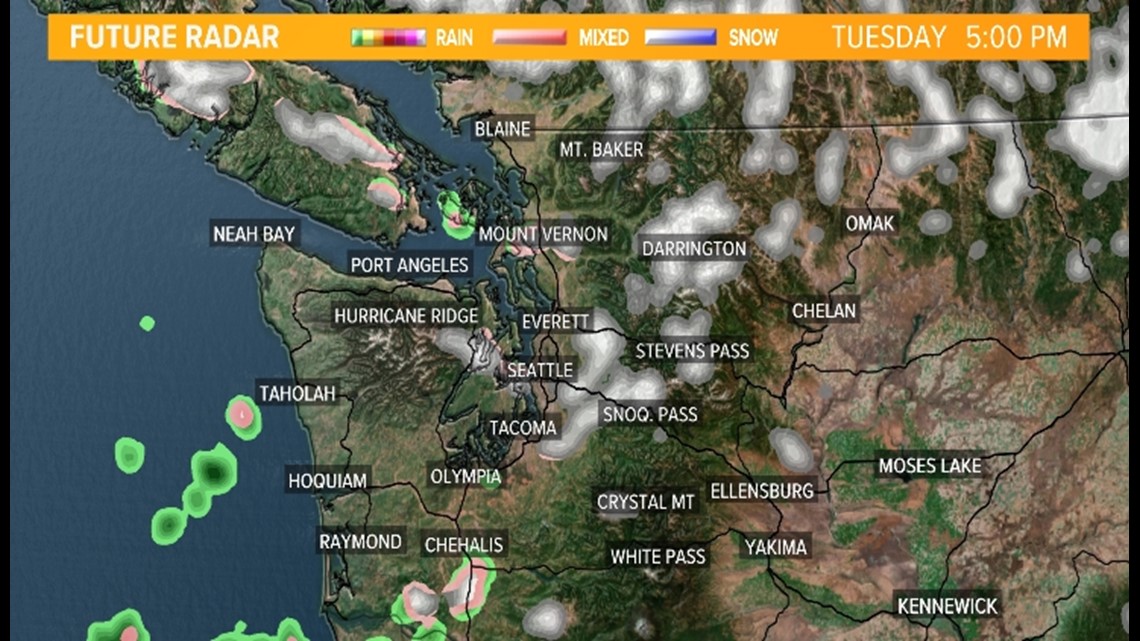
Snow begins to taper off Tuesday evening outside of a couple convergence zone bands that try to set up on the east side of Puget Sound somewhere between Mount Vernon and Tacoma. These bands could produce quick, slushy accumulations for these areas.
Future radar early Tuesday evening

Temperatures begin to cool off Tuesday evening and night, which means residual moisture on roadways will freeze leading to areas of ice around western Washington. This could make the Tuesday night and Wednesday morning commutes tricky.
Drivers should expect slippery road conditions.
