

SEATTLE — After a weather system brought lowland snow to western Washington earlier in the week, the lowlands should prepare for another system bringing snow to start the weekend.
Snow showers began Friday night with flakes spotted from West Seattle to Tacoma.
Here’s what to expect this weekend:
Saturday
Snow accumulations are possible by Saturday morning, with the largest snowfalls expected in the western Kitsap Peninsula.
A trace to an inch of snow is possible between Olympia and Seattle. From Everett to Bellingham between an inch to three inches of snow could accumulate. The Cascade Mountains could see another two to five inches of snow, and the Olympic Mountains could see the most snow with another eight to 16 inches of snow possible overnight, according to KING 5 Chief Meteorologist Mike Everett.
Rain or snow showers will decrease during the morning with little or no accumulation.
A Winter Weather Advisory will expire at 10 a.m. on Saturday.
It should turn partly sunny in the afternoon with highs near 40 degrees and light winds.
Avalanche risk in the mountains is expected to be moderate near and above treeline on Saturday, according to the Northwest Avalanche Center. It will be low risk below treeline.
Below treeline there hasn’t been enough snow to fill in the avalanche paths, and the terrain anchoring, like trees and rocks, is holding the snowpack in place, according to KING 5 Meteorologist Rich Marriott.
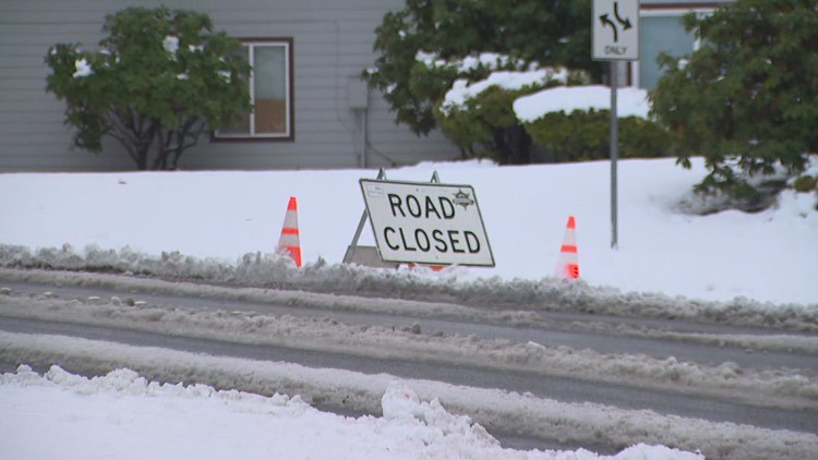
Blewett Pass was closed before 8 p.m. on Saturday night after a collision, and there is no timetable for reopening the roadway.
Sunday and beyond
At this point, Sunday looks like a partly sunny day, and we'll stay dry throughout the day on Monday.
A slight threat of rain/snow showers returns on Tuesday and Wednesday. However, no significant accumulation is expected.
High temperatures will be in the upper 30s to low 40s.
High temperatures will be in the upper 30s to low 40s.
