

Despite a series of recent snowstorms, there’s still a 55 percent chance El Niño conditions will continue through spring, according to a discussion released Thursday from the National Weather Service’s Climate Prediction Center.
“An El Niño winter isn't a slam-dunk forecast for a warmer winter for us,” said KING 5 Meteorologist Ben Dery. “In fact, the snowiest winter ever recorded in western Washington happened to be an El Niño winter.”
El Niño is a phenomenon that is associated with warmer than normal sea surface temperatures in the Tropical Pacific. It increases the likelihood of warmer and wetter than normal conditions.
In order for it to officially be an "El Niño winter" these conditions need to persist for several months and we need to see a reflection of this state in the atmosphere, according to Dery.
“We've seen the former, but we haven't seen the atmosphere shift quite yet,” Dery said. “Therefore, El Niño-Neutral conditions are present.”
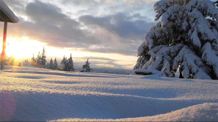
Several snowstorms earlier this month brought over 20 inches of snowfall to Sea-Tac Airport, making it the airport’s snowiest February ever.
However, that also preceded by an unseasonably warm January. This year tied for Seattle’s eighth warmest January with an average high temperature of 52.5 degrees. On January 11, Seattle hit 61 degrees, marking it the warmest on record.
Washington is also battling lower than normal snowpack, which serves as an important water supply come spring. As of Thursday, Snowpack in the Central Puget Sound region was 81 percent of normal, South Puget Sound was at 86 percent, and North Puget Sound was at 88 percent, according to the U.S. Department of Agriculture’s Natural Resources Conservation Service.
