
Many areas around Puget Sound saw lots of clouds and fog this weekend. That heavy fog may continue early this week.
This comes after several days of above average temperatures and record-breaking afternoon highs.
So, what happened? Well, we had a temperature inversion. A temperature inversion, usually just called an inversion, occurs when warm air moves over cooler air at the surface.
Warm air is less dense than cold air, so it hovers over the cooler air in the atmosphere. You can think of it like a baseball cap on your head. The marine layer, or the fog and low clouds, are cool and more dense so they can't "float" up and into the atmosphere and therefore hovers near the ground for a long time.
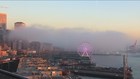
Timelapse: Fog around Seattle's waterfront
They are "capped" or "trapped" by the warm air directly above, and that's why the low clouds can't escape or evaporate, and we have low visibility.

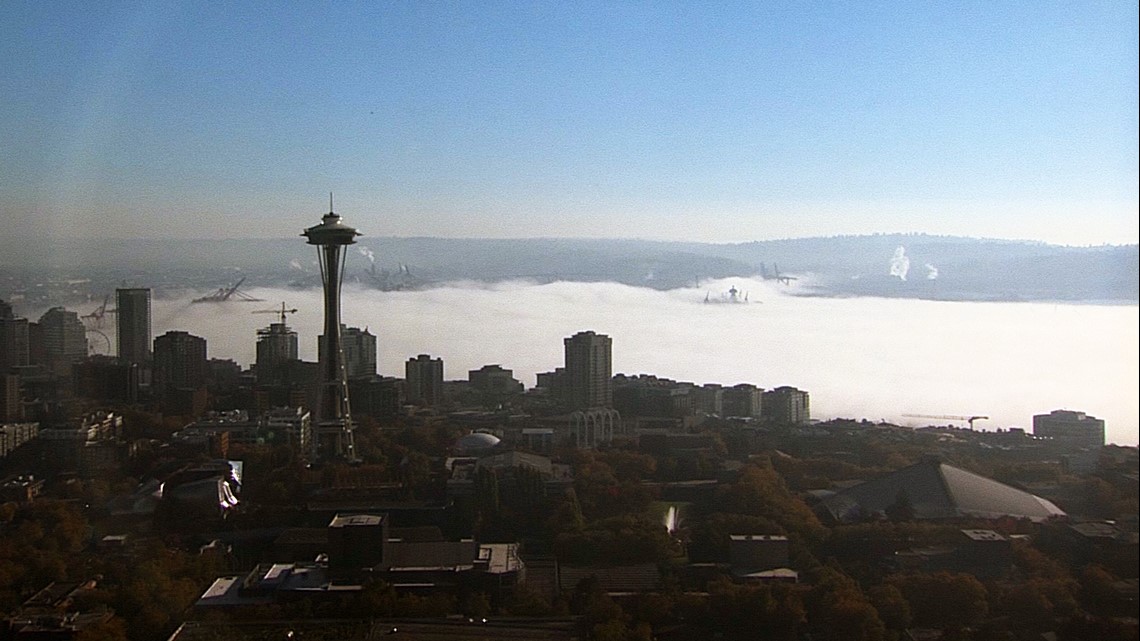
From above it looked like a blanket of clouds on the ground. Another way to think of it as a lid of warmer and less dense air covering the cooler more dense and heavier air at the ground.
Until those temperatures start getting closer to each other, the low clouds will remain.
The National Weather Service says we should expect fog to become fairly widespread again Sunday night. However, it may burn off faster on Monday than it did over the weekend.
Once the temperatures are similar, the cap is lifted, and the low clouds evaporate or burn off by the sunshine.
This can often happen during the fall and winter months, but it's not usual to see it during the summer especially with our climate.