
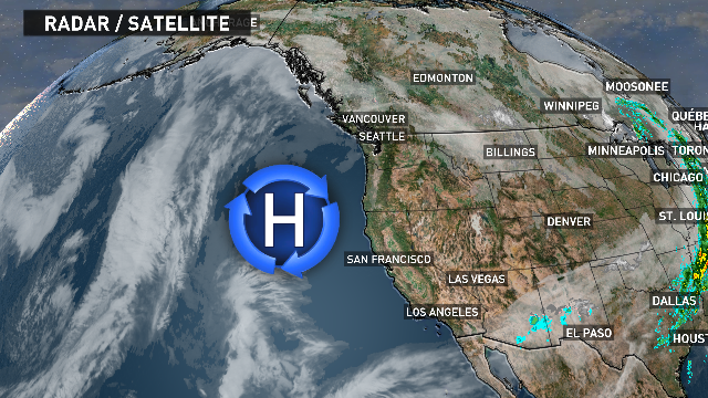
Expect little to no rain as strong high pressure dominates our weather pattern for the next week or two.
Day-to-day conditions are likely going to be very similar -- We’ll start out with some areas of dense morning fog, gradually burning off to some sunshine. As we head deeper into the workweek, a temperature inversion is forecast to develop keeping us in the fog and low clouds a bit longer each day.
What is a temperature inversion? It’s when the temperature rises as you get higher in the sky. Typically, the atmosphere cools the higher up you go. When an inversion develops, cold air gets trapped near the surface, and can sometimes linger for days. A lot of times when this happens it will be warmer in the mountains than the lowlands.
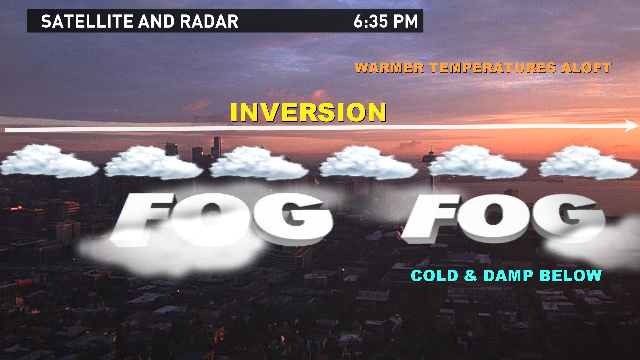
To get rid of an inversion you need one of two things: wind to mix down drier air or warmth from the sun to burn through the fog. This time of year, the sun’s energy is a lot weaker, so that doesn’t help. Therefore, we must see if the wind will pick up. It happened Tuesday and we’re seeing more sunshine, but the wind is forecast to be lighter in the coming days. Thus, the clouds may linger for longer.
This temperature inversion is forecast to stick with us through the remainder of the week. If it does, air pollution could become a concern.
