


Kids are home from school on spring break and looking to get outside and enjoy some warmer temperatures – better go somewhere else. This week is looking wet at times with several storms moving our way.
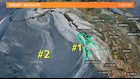
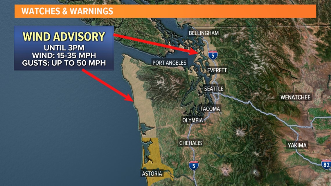
The first will arrive today, which will bring a vigorous cold front kicking up the wind and bringing rainfall to Western Washington. A Wind Advisory is in effect for the coast and from Everett northward. Also, a High Wind Warning for the southern Washington coast. Exposed spots could see gusts up around 40-50 miles per hour. The windiest part of the day is late morning to early afternoon.
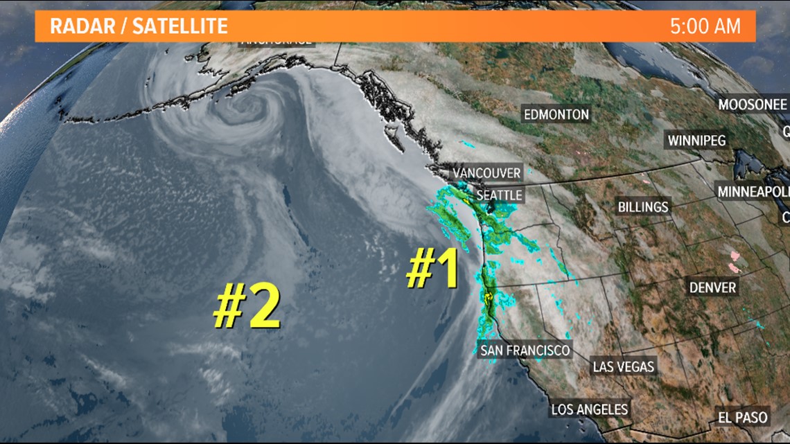
The rainfall will come in waves this morning, then taper to showers and sunbreaks in the afternoon.
Another front will hit Western Washington on Wednesday, keeping the wind blustery and dropping temperatures a couple degrees. Highs will fall from the 60s Monday down into the upper 40s to lower 50's by Thursday.

Snow levels up in the mountains take a dive from 6,000 feet to around 2,000 feet by Thursday. Most of the passes should experience rainfall, but by the time the cooler weather hits Thursday the passes will see some snowfall.
It looks like we'll keep rain chances in the forecast through the weekend. It’s not until early next week when we get another solid day like Monday.
