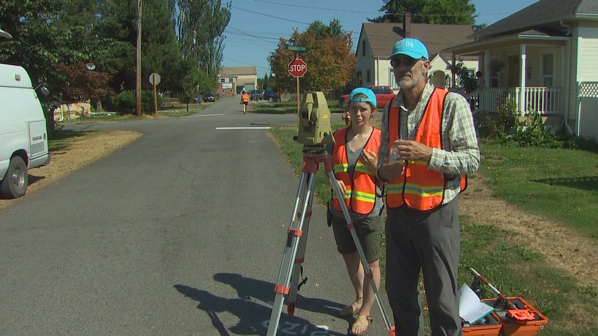
Western Washington University students mapped the city of Stanwood this week to determine which areas are vulnerable to flooding.
Using ground-level home elevation measurements, the students will build an online map, and Stanwood residents can see the flood risk to their homes.
Students will process the data during winter quarter, and the flood map should be available to the public by March 2018.
The city of Stanwood paid $30,000 for the study with the goal of potentially lowering flood insurance rates. The city is applying to FEMA to be included in the community ratings system, which would result in a blanket reduction of 10 percent or more on homeowners’ insurance rates.
“If I'm a homeowner with a $12,000 policy, and I can get a 10 percent reduction, that's $1,200 in my pocket,” said David Davidson, WWU sustainable communities partnership manager.
The area the students are studying hasn’t flooded since the 1950’s.