

As kids head back to school this fall, most students will be going back to a building that is at “high” or “very high” risk for earthquakes.
About 72 percent of schools reach that danger threshold, according to state officials. Of Washington state’s 9,000 school buildings, only 232 have been built since 2004 when earthquake building codes were updated. In addition, 37 school campuses that are located in tsunami inundation zones.
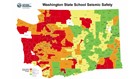
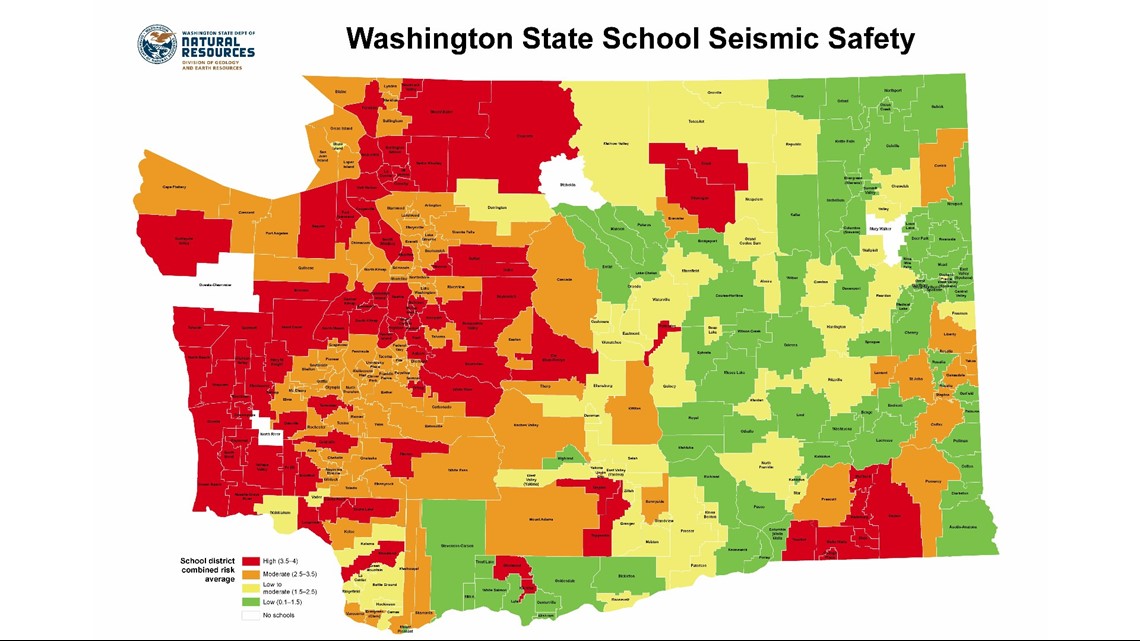
A recent map from the state Department of Natural Resources shows each school district’s combined risk factor, which is based on seismic risk and liquefaction susceptibility or how likely soil will take on the characteristics of liquid in an earthquake. The maps show major Western Washington districts, such as Seattle, Bellevue, and Kent, are all at a high combined risk.
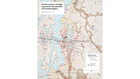
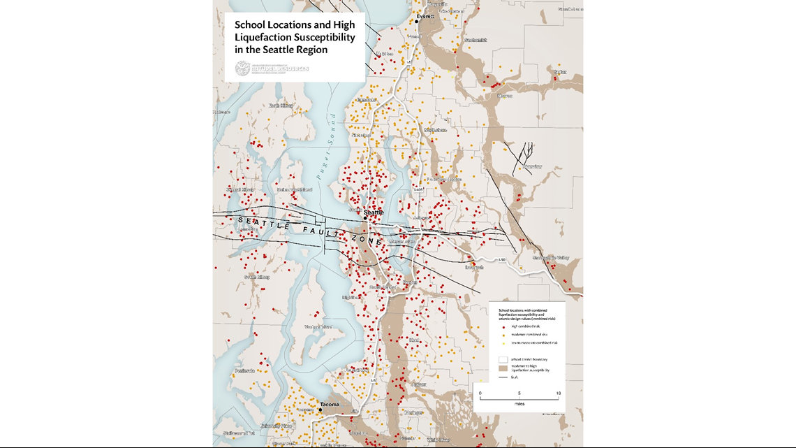
A more detailed map from DNR shows the combined risk factor of individual schools in the Seattle area. Most schools in Seattle south to Federal Way are at a high risk, and most schools north and south of that region at a moderate risk. Exceptions include Mukilteo, Puyallup, and Fife, where most schools are at high risk.
Structural engineers began inspecting the state’s most vulnerable buildings this summer after the state legislature allocated $1.2 million in funding to assess the schools’ relative seismic risk. The assessment will look at how close the school is to a fault line, if it is in a tsunami zone or a region vulnerable to a magnitude 9 earthquake out of the Cascadia Subduction Zone, and if it is on soil that would liquefy during an earthquake.
The initial funding covers the state’s 220 most worrisome buildings, but the state estimates about 4,000 buildings eventually need to be assessed.
Initial building inspections are slated to be completed in September, and the analysis is expected to be done by June 2019, according to DNR.
All public schools in Washington state are required by law to have an emergency management plan. That includes plans for evacuation routes, parent-student reunification, location of disaster supplies, and defining staff responsibilities during a disaster.
However, it’s up to each parent to ask what the plan is at their child’s school.