
SEATTLE — Five years after the Oso landslide Washington's Department of Natural Resources is working hard to prevent similar disasters. Landslides are the most common geologic hazard in Washington and pose a risk to many communities throughout the state.
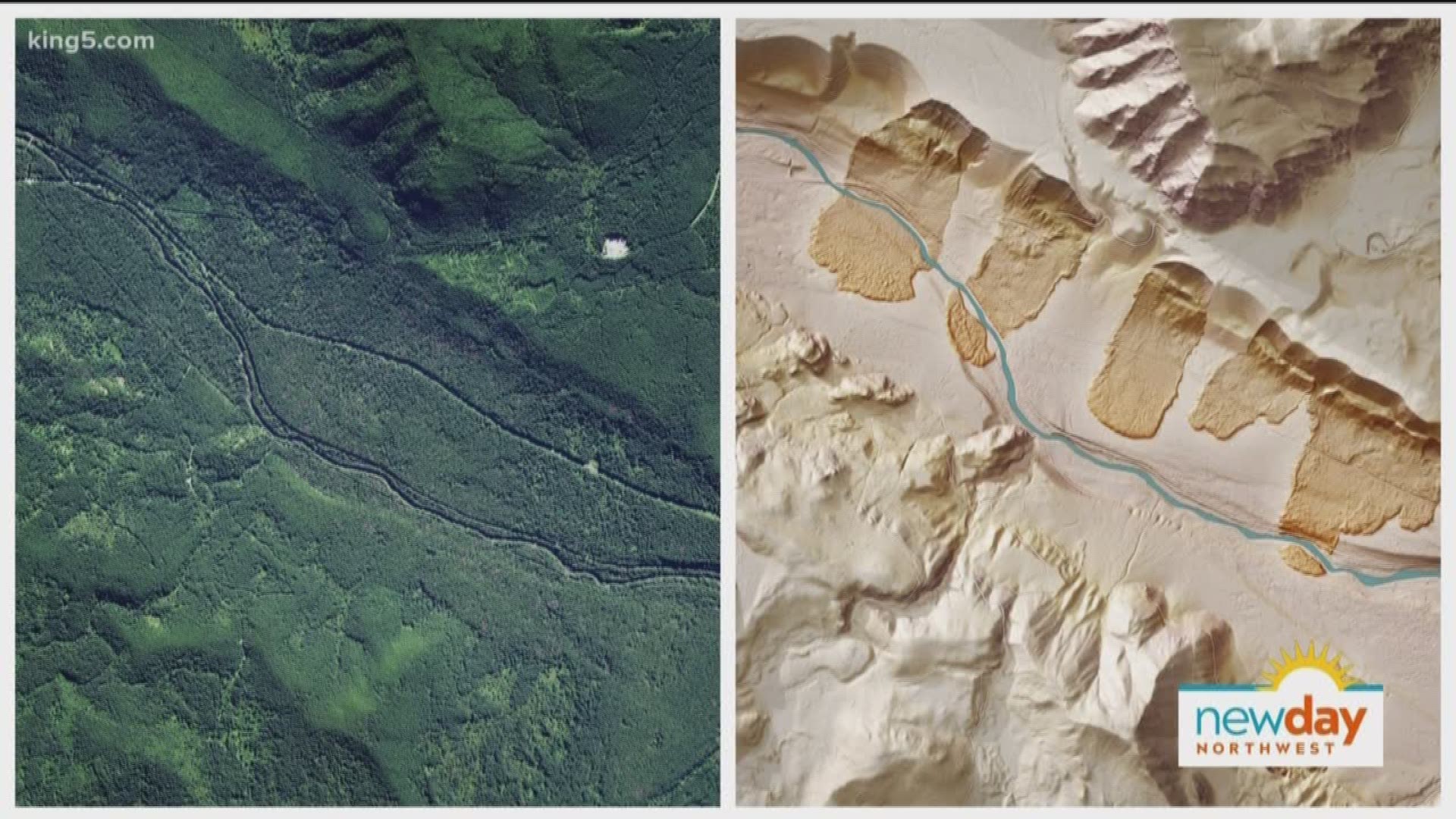
New mapping technology enables the DNR to map past landslides, and estimate the locations of potential landslides in an effort to learn more about prevention and make informed decisions about land use. Stephen Slaughter from the Department of Natural Resources joins New Day Northwest to talk about how landslide monitoring has changed in the past five years.
Check out the geological hazards near your home on the Washington Geologic Information Portal.
Watch New Day Northwest 11:00 weekdays on KING-TV Ch.5 or streaming live on KING5.com. Connect with New Day via Facebook, Twitter, Instagram.