The start of winter Thursday is not going to be very wintry, with sun in the forecast. But we got a winter preview on Tuesday.
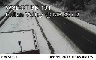
A strong cold front brought moderate to heavy rainfall Tuesday morning, and snow to some areas of the Olympia Peninsula. There were reports of up to seven inches of snow near sea level west of Port Angeles.
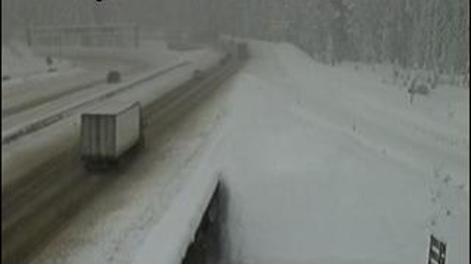
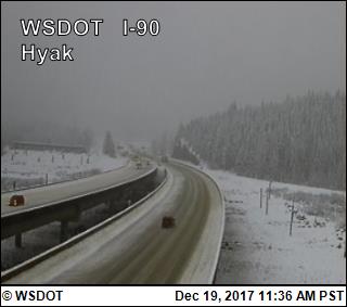
Snow was falling in the mountains at up to two inches an hour, causing on-and-off closures of Interstate 90 at Snoqualmie Pass due to spun out vehicles.
On Wednesday, the lowlands may see a few early morning showers of mixed rain and snow especially near the Cascades above 1,000 feet. However, it should largely dry out as the morning commute starts. Low temperatures will be near freezing where it clears, so some wet roads could be a little icy Wednesday.
Winter arrives at 8:28 a.m. Thursday. We should have plenty of sunshine by afternoon and mostly sunny and cool day.
We may see a weak system brush us late Thursday or early Friday. That may give us a few mixed rain and snow showers but with no accumulation.
The sun is back Friday afternoon and through the weekend. It will be chilly with daytime highs mostly in the 30s and nighttime lows in the 20s.
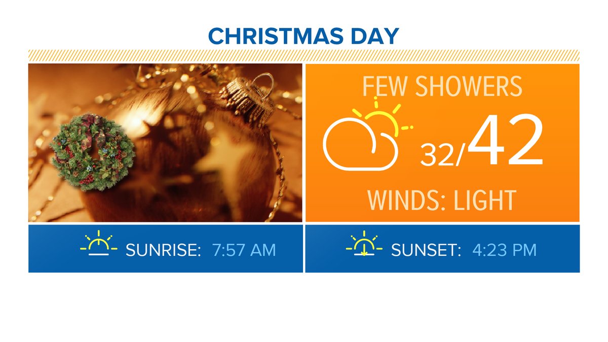
Christmas should start sunny, but we may see a few rain showers developing in the afternoon.