
SNOQUALMIE PASS, Wash. — Experts hope the latest storm will be a boon for Washington state's below-average mountain snowpack.
Snowpack usually peaks around April 1. As of April 4, mountain snowpack was still below average throughout the state.
University of Washington Assistant State Climatologist Karin Bumbaco said she and other scientists who track snowpack will be watching the storm closely after high snowfall - at times - in December and January were followed by a relatively dry February and March.
"As of April 1, which is usually when we consider to be the peak in our snowpack, averaged across Washington state we were only at about 80% of normal snow," Bumbaco said.
While welcome, Bumbaco said the April snowfall is not necessarily "abnormal."
"It's not that unusual. Typically April 1 is our peak statewide, but we've seen plenty of seasons where through like April 15 we can still get some pretty significant snow in the mountains. So, not that unusual and I think it does have a chance to add, especially in the basins that are borderline [to snowpack]," Bumbaco said. "This could hopefully help build the snowpack so we have more of those reserves coming into our dry season."
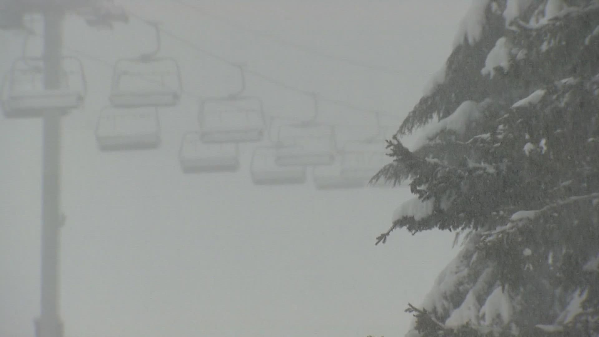
Snoqualmie Pass received about 6 inches of snow between 6 a.m. on April 3 and 6 a.m. on April 4. More is expected to fall through at least Tuesday morning.
The latest data from the United States Department of Agriculture shows that while the north and central Cascades have nearly reached 100% of average snowfall, it's well below in the south Cascades at 68% of average. Snowpack in the Olympics was 84% of average as of April 4, according to the data. The Central Columbia basin has 76% of average snowpack, while the Yakima Basin's snowpack ranges from 36% to 58% of average.
Snowpack is essentially water stored for later use. The more snowpack we have in the winter the more water that will be available heading into the summer.
Meanwhile, a drought emergency declaration in July 2021 is set to expire in June. However, it's "very likely" that will be extended for parts of the state, according to the state's Department of Ecology. Only portions of Snohomish and King counties, and Tacoma, were not included in the drought emergency.
Though conditions have improved since last summer, several streams are forecast to have low flows, according to Ecology.
A drought emergency can be declared when an area's water supply is less than 75% of normal.
At this point, it's hard to say what, if anything, the snowpack means for the wildfire season. Instead, Bumbaco said, it will be important to see what happens with rainfall, temperatures, and overall conditions in the months to come.
"We have to wait and see what our spring and summer weather are going to be like, but it doesn't seem to play that big of a role for Washington state in particular," Bumbaco said. "There are other parts of the West where it's a bit more meaningful. If we had much lower snowpack at this point in the season that would mean it would melt sooner so that would lead to more of a longer fire season or indications it would be longer, but I'm not seeing it at this point."