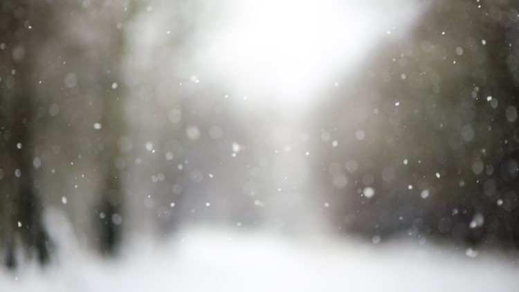
BELLEVUE, Wash. — Snow flurries were spotted in isolated areas around western Washington Saturday.
Temperatures dropping to around or just above freezing helped the rain/snow mix fall Saturday around noon.
KING 5 viewers reported flurries in Bellevue, Seattle and SeaTac Saturday morning. No lowland accumulations are expected.
The snow level dropped to 1,500 feet along the western slopes of the north-central Cascade Mountains, with snow accumulations predicted to be between one to three inches.
A Winter Weather Advisory is in place for the Cascade Mountains in Snohomish, King, Pierce and Lewis Counties.
The advisory went into effect at 10 a.m. Saturday morning and will remain in effect through 4 a.m. on Sunday for areas above 2,500 feet. Total accumulations between four to 14 inches are possible. Travel may be difficult in higher elevations, according to the National Weather Service.
Another weak disturbance arrives late Sunday evening/early Monday morning, bringing some moisture and simultaneously cold temperatures, so more flurries are possible early Monday morning. Accumulations are not expected for the lowlands.