
YAKIMA CO., Wash. - Emergency workers are helping residents displaced by the threat of a landslide at Rattlesnake Ridge in Yakima County.
Officials at a press conference on Thursday said every resident from the high-risk area had been evacuated and are receiving help for long-term housing needs to make sure they do not need to move back.
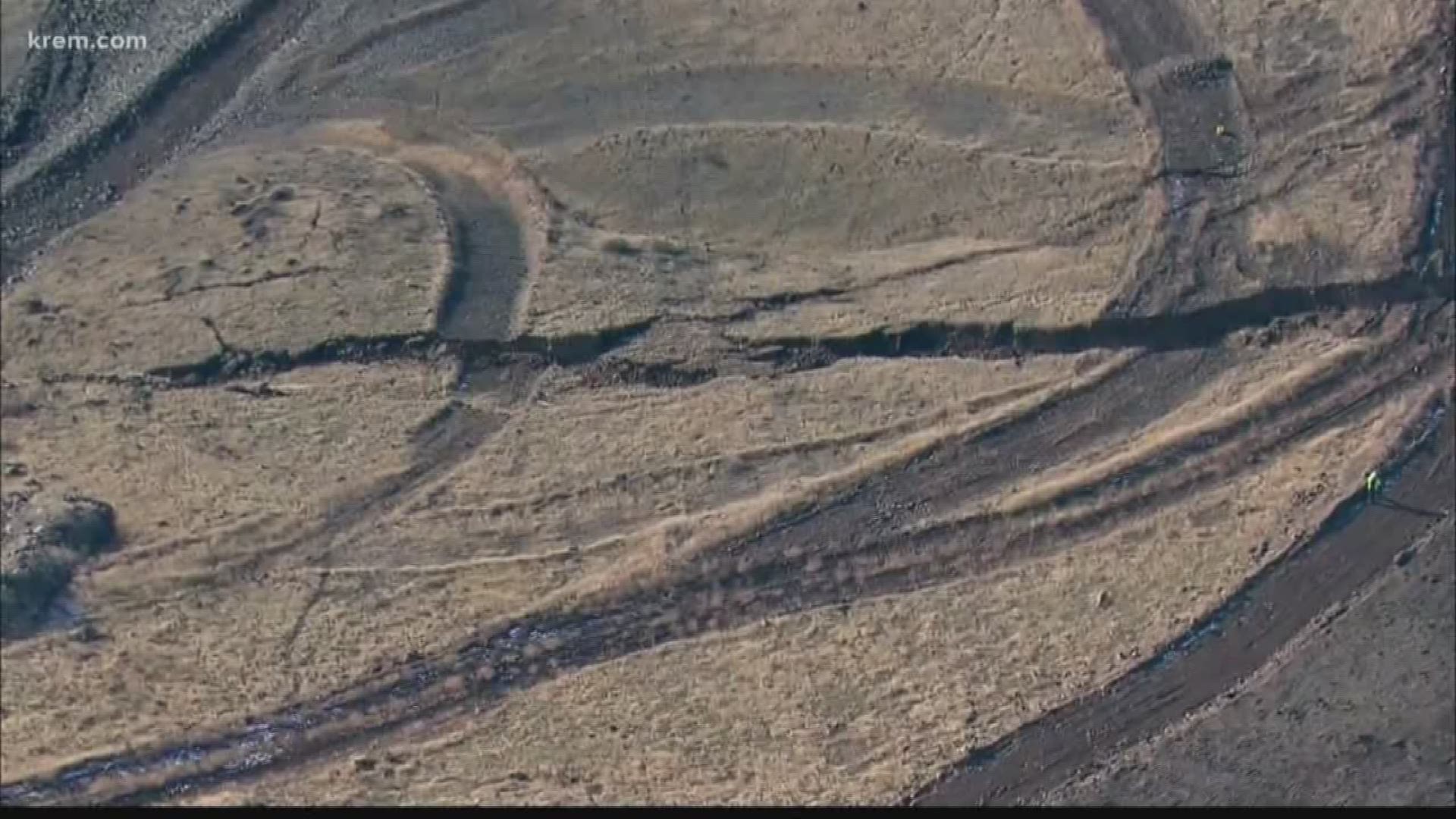
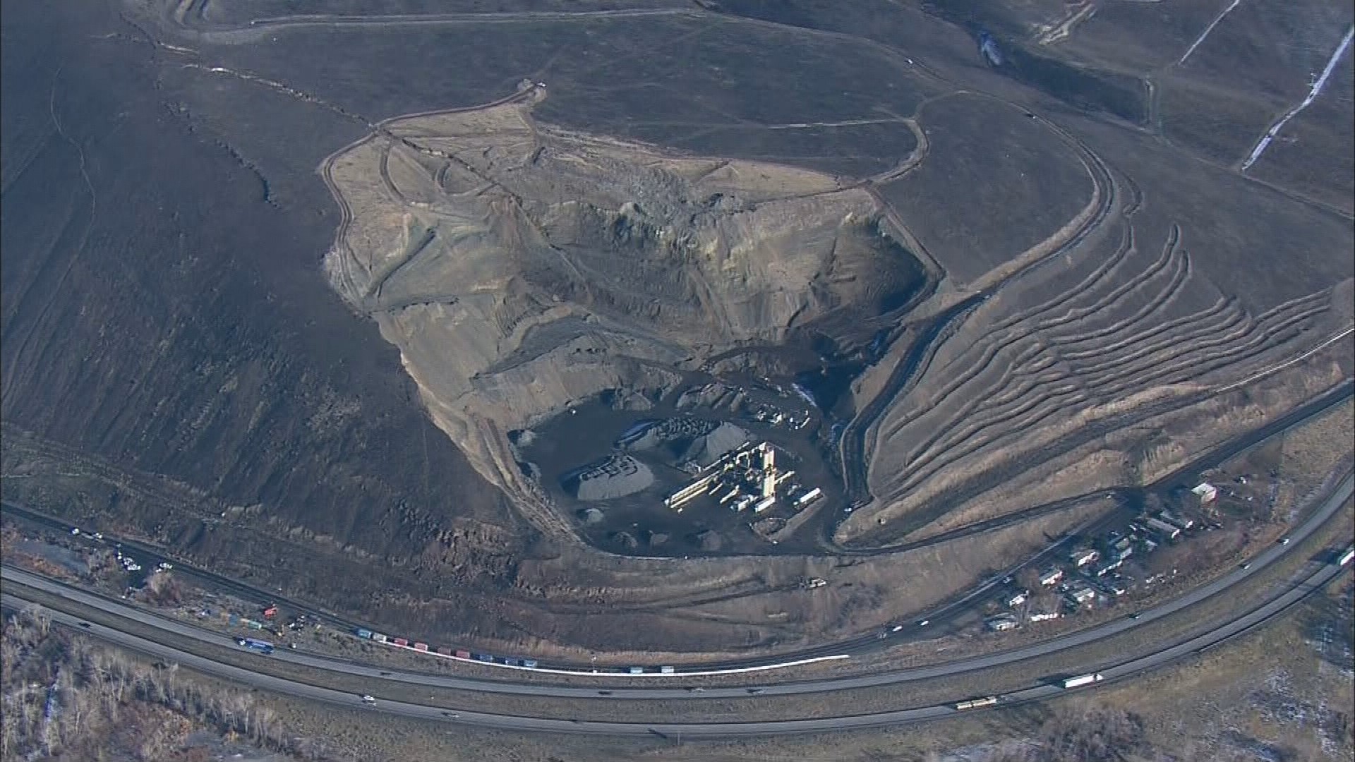
Yakima County has declared a disaster surrounding the threat of a landslide for about 20 acres in the Rattlesnake Hills area near Union Gap.
Stephen Slaughter from the Washington Department of Geological Resources said the slide is still moving south at about 1.6 feet per week, which has been constant since December 20.
He expected the landslide will move south and accumulate into a quarry, with some rockfall onto Thorpe Road, which has been closed since December. He said they are still anticipating the slide happen sometime between now and March.
“Though the slope looks steep, most of the rock and debris that may come off will probably get caught up on the slope,” Slaughter said. “Debris that may hit the road will get caught in those…containers that we installed several weeks ago.”
Officials said there are two other, less-likely scenarios they are planning for: one where the landslide could reach Interstate 82 and impact homes south of the existing quarry, and a second "catastrophic" level event where the debris makes it all the way to the Yakima River.
"We're coming along on Thorpe Road, so that will be done sooner, and then we've started on the catastrophic plan should the debris reach the river," Jeff Emmons, from Yakima County Emergency Management said.
Emmons said they are having all the agencies that would be involved with the response to the landslide to create their internal plans within their agency. He explained they then will collect the plans and "de-conflict" them to make sure one agency isn't relying on the same resources.
He said they were planning on scaling back at the Yakima County Office of Emergency Management Rattlesnake Ridge Center for now, so they will be refreshed and ready when the landslide does happen.
“The public safety is our number one priority," explained Jeff Pfaff, the Joint Information Center manager, over the phone Friday afternoon. "Anytime the trigger point moves from that hillside…we start ramping up."
WSDOT officials confirmed Friday they have planned detours in the event they have to close I-82, and would primarily re-route people onto US 97.
State officials also confirmed they have brought on a third party to do an independent analysis of the landslide after getting instruction from Governor Jay Inslee when he visited the site.